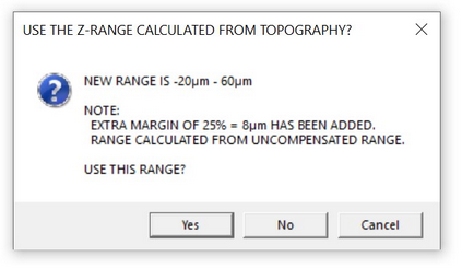
This function can be used to narrow down the top and bottom positions, starting from a rough setting.

Click ‘Yes’ to use the suggested range, ‘No’ to continue, but not use the suggested range. Click ‘Cancel’ to skip the creation of a topographic image.
The function will use the topographic top and bottom levels and add a margin of 2 x 12.5%.